Región Malá Fatra - Page 8 of 13 - viac ako 280 km turistických a 645 km cyklistických trás

Zbojnícky chodník (Bandits’ Trail)

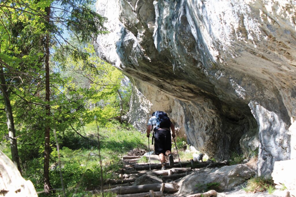
Zbojnícky chodník (Bandits’ Trail) Mountain hike Difficulty: moderate, summer – autumn 4 – 5 hours Show route details 1/ Total time of the blue trail Tiesňavy – Vyšné Kamence: 3:05 hTotal ascent: 520 mDescription: The trail starts in Tiesňavy (567 metres above sea level) and it follows the blue marks. At the beginning, it is […]

Zbojnícky chodník (Bandits’ Trail) more »
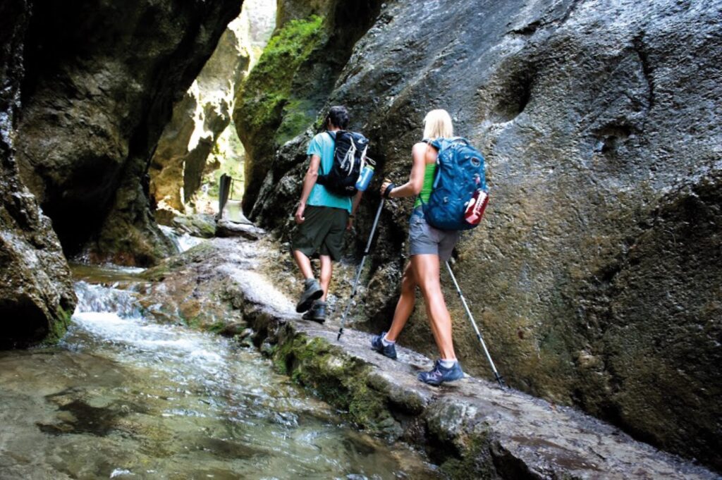
Jánošíkove Diery gorges

Jánošíkove diery Gorge / waterfalls Difficulty: moderate 4 hours Show route details Description: This place belongs to the biggest hiking attractions in Malá Fatra. We recommend visiting it during working days, as during weekends it is often overcrowded. Nobody would like to miss the beautiful gorges and canyons of Krivánska Malá Fatra. You can select

Jánošíkove Diery gorges more »

Veľký Rozsutec and Malý Rozsutec

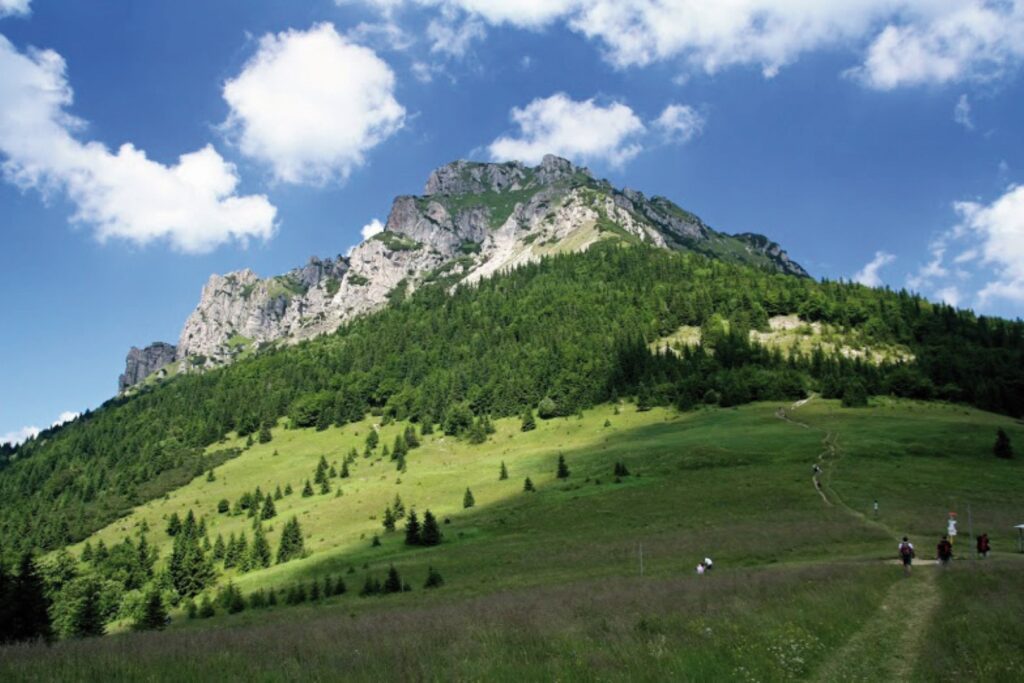
Veľký (Great) Rozsutec and Malý (Little) Rozsutec Veľký (Great) Rozsutec Ascent to summit Difficulty: demanding 5 – 6 hours Show route details Veľký (Great) Rozsutec (1610 m above sea level) is an icon of the Malá Fatra Mountains and the trail to its summit is one of the most spectacular in Slovakia. Some sections involve

Veľký Rozsutec and Malý Rozsutec more »

Along the ridge of Malá fatra to Poludňový grúň, Stoh or to Zázrivá

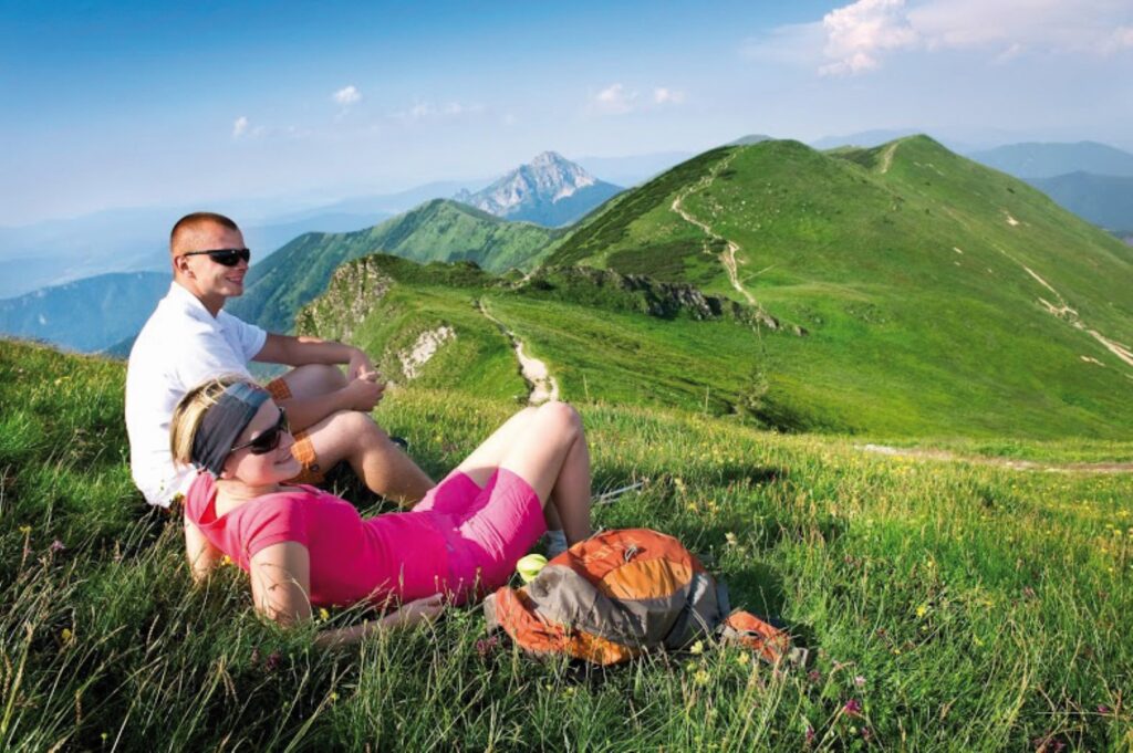
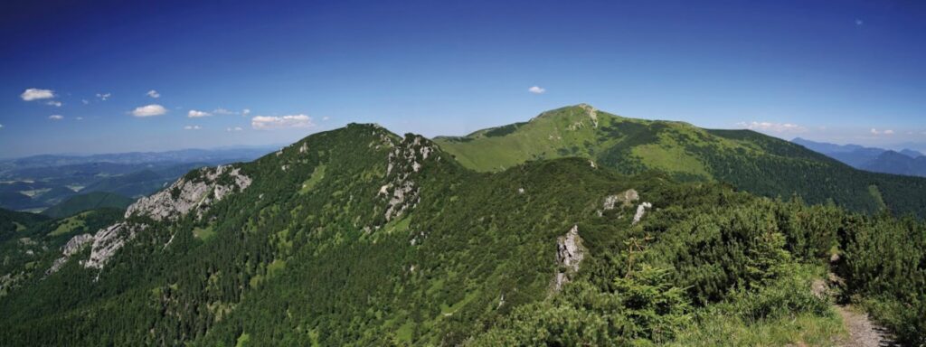
Along the ridge of Malá fatra to Poludňový Grúň, Stoh or to Zázrivá approx. 3:10 – 5:25 h Location: Krivánska Malá Fatra Difficulty: medium difficult – difficult Description: This whole-day trip along the ridge starts in Vrátna dolina valley and continues under the cable-way to Snilovské saddle, through Chleb, Hromové, Poludňový Grúň, Stoh, Medziholie to

Along the ridge of Malá fatra to Poludňový grúň, Stoh or to Zázrivá more »

Scroll to Top