
Zbojnícky chodník (Bandits’ Trail)
- Mountain hike
- Difficulty: moderate, summer – autumn
- 4 – 5 hours
- Show route details
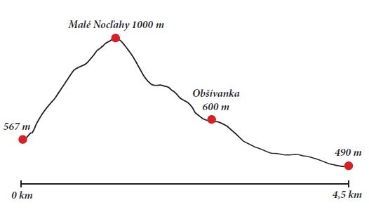
1/ Total time of the blue trail Tiesňavy – Vyšné Kamence: 3:05 h
Total ascent: 520 m
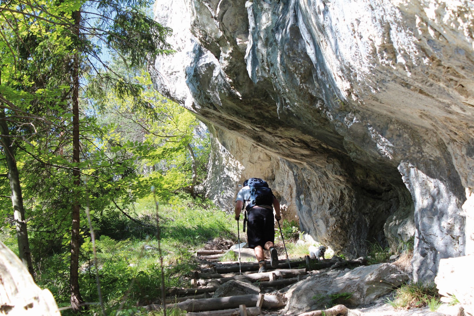
Description: The trail starts in Tiesňavy (567 metres above sea level) and it follows the blue marks. At the beginning, it is a bit difficult as the ascent is really steep and you should use guide chains, where possible. After approximately one hour you should arrive at Malé Nocľahy (1,000 metres above sea level). Along the way you can enjoy beautiful views of Malá Fatra ridge. Tiesňavy take on a very different dimension from above. In Malé Nocľahy you can take a rest and enjoy refreshment you have taken with you. Then you should continue along the blue trail to one of the most beautiful valleys Obšívanka (600 metres above sea level). This section had been closed for several years for nature protection reasons and therefore you cannot find it in older maps. When descending through Obšívanka you can follow the blue mark to settlement Vyšné Kamence (490 metres above sea level) or you can switch to the yellow mark – direction to Oravcové – at the guidepost. It is a small hill above Terchová with a peaceful environment and a nice view of the surroundings. The descent to Terchová goes along the trail of the “stations of the Cross”.
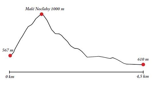
2/ Total time of the trail through Tiesňavy that ends in Terchová through Sokolie: 2:40 h
Total ascent: 520 m
Another possibility is to switch to the yellow mark at guidepost “Malé Nocľahy” and in 15 minutes you arrive to Sokolie ridge. Then you have to walk for some 45 minutes along the green trail to get to Starý dvor. If you have not had enough, you can continue along the yellow trail to Príslop saddle. There you switch to the blue trail to get to Starý dvor. It takes less than 2 hours to get to Starý dvor from Sokolie ridge.
The section Malé Nocľahy – Obšívanka is closed from 1st March to 15th June.